Duration: (11) ?Subscribe5835 2025-02-26T07:27:54+00:00
GEDI Footprint Relative Height Metrics - Visualized
(11)
GEDI Footprint Relative Height Metrics - Kaibab National Forest
(30)
Why does the GEDI orbit footprint look the way it does?
(44)
Visualizing GEDI L4A Footprint Level Aboveground Biomass Density
Algorithm Theoretical Basis Document for GEDI Footprint Aboveground Biomass Density | RTCL.TV
(49)
Getting Started with NASA Global Ecosystems Dynamics Investigation (GEDI) Lidar Data
(1:15:58)
What is GEDI?
(1:39)
Explore NASA GEDI Aboveground Biomass Datasets, Services, and Tools at NASA's ORNL DAAC
(1:17:23)
Ralph Dubayah (1) - GEDI data to produce three-dimensional maps of the world’s forests
(17:14)
Forest Biomass Estimation Using GEDI
(25:56)
GEDI Move EFU6 EFU7 3 17 2023 16X
(1:44)
Ralph Dubayah (2) - GEDI data to produce three-dimensional maps of the world’s forests
(19:15)
The Global Ecosystems Dynamics Investigation (GEDI) mission: Concepts, methods and applications
(1:30:12)
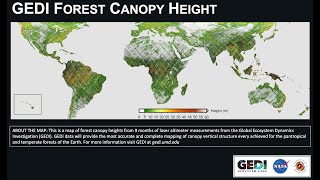
GEDI Forest Height
(1:8)
May the Forest Be with You: GEDI Moves Toward Launch To Space Station
(37)
John Armston - On-orbit evaluation of GEDI waveform biomass estimators
(16:48)
NASA GEDI Mission (Pronounced Jedi) Will Use Laser to Study Earth’s Forests
300 Million Measurements with Global Ecosystem Dynamics Investigation (GEDI) - Space Laser
GEDI Presentation by Laura Duncanson (University of Maryland)
(36:41)