Duration: (22:41) ?Subscribe5835 2025-02-06T22:57:15+00:00
How to use the Automated Breakline Extraction tools in n4ce 4.30
(11:42)
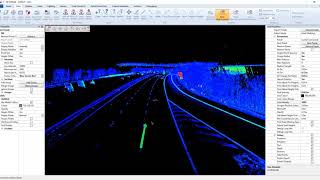
n4ce 4.30 BETA - Auto Extraction of Road Lane Markings from Point Clouds
(22:41)
n4ce 4.30 BETA - Auto Extraction of Crash Barriers\\Walls from Point Clouds
(9:23)
n4ce 4.30 BETA - Auto Extraction of Over Head Cables from Point Clouds
(18:37)
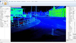
n4ce 4.30 BETA - Auto Extraction of Road Side Kerbs from Point Clouds
(7:11)
Tunnel Sections from Point Clouds in n4ce 4.30a
(4:17)
n4ce Automated Height and Stagger extraction for OLE
(12:41)
n4ce 4.20 September Installation Tutorial
(1:54)
n4ce Point Cloud Tutorial
(15:30)
Importing Google StreetView's into n4ce November 4.40
(28:44)
Point Cloud Linear Feature Extraction
(9:27)
Generating Smooth Contours and Gradient Shaded Arrows in n4ce 4.40 BETA
(9:8)
n4ce Least Squares Guide
(8:41)
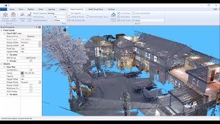
Floor plans in n4ce from point clouds
(19:52)
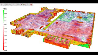
Checking Floor Flatness using Laser Scans in n4ce 4.40
(18:52)
TopoDOT - N°1. Importación de nubes de puntos
(7:5)
Ground Extraction in n4ce 4.40
(23:32)
Simple Volume Calculations in n4ce
(8:6)
n4ce Mobile Mapping Example: Video No 5 - Traffic Islands 3d and 2d Methods
(11:9)
n4ce Stock Pile Volumes From UAV Data
(6:6)
n4ce cut fill visualisation
(18)
n4ce v4.30 Feature Extraction, early BETA demo
(1:5)
How to create Long and Cross Sections within n4ce
(5:29)
Technics Doncaster Trial Hole Photogrammetry to N4CE
(2:7)
How to Calculate Cut/Fill Volumes within n4ce
(17:34)
n4ce Codetable Basics
(10:35)
How to Digitise a Tree Quickly from the 3D viewer in n4ce
(1:48)
Working with Mobile Mapping data in the n4ce 4.40 July BETA
(20:49)