Duration: (2:27) ?Subscribe5835 2025-02-11T01:02:13+00:00
SCC - Riegl images and point clouds
(2:27)
SCC - Processing Riegl VUX data with images
(12:25)
Extremely fast RIEGL VZ-i Series Automatic Scan Data Registration
(2:13)
Laser scanning in practice with Riegl
(1:8:20)
Riegl Softwares
(2:11)
RIEGL TECHTALK INTERGEO 2024 | UAV \u0026 Airborne Laser Scanners
(4:34)
Harris Aerial Scans RIEGL USA HQ!
(5:16)
RIEGL VZ-i Series Kinematic App: Mobilize your Terrestrial Laser Scanner
(2:33)
Product Showcase: RPLIDAR S1 360° TOF Laser Range Scanner
(7:41)
The NEW RIEGL VMY-2 Dual Scanner Mobile Mapping System
(3:16)
The NEW RIEGL VZ-600i – a new Era in Terrestrial Laser Scanning! World Introduction at Intergeo 2022
(2:9)
RIEGL VZ-1000 in Hawaii/ VZ-6000 in Greenland
(4:51)
How to use 3D TLS! Fieldworks with 3Dimensional Terrestrial Laser Scanner#AttractionByAlokDPatel
(8:51)
The new RIEGL VZ-400i High Performance Terrestrial Laser Scanner (Update)
(3:18)
Automatic Stop-and-Go LiDAR Survey of a Substation
(3:31)
The new RIEGL VMQ-450 Single Scanner Mobile Mapping System
(3:11)
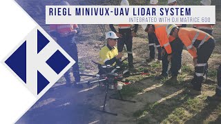
RIEGL miniVUX-UAV LiDAR system integrated with DJI Matrice 600
(2:28)
NIKOLAUS STUDNICKA: RIEGL VZ-600I - THE LIGHTWEIGHT \u0026 HIGH-ACCURACY, HIGH-SPEED LASER SCANNER
(13:3)
Scripps Technical Forum: RIEGL Lidar Technology and Applications
(58:16)
Using LIDAR Scanning for Surveying - RIEGL VZ-400i
(34)
About RIEGL – More than 40 years of “Innovation in 3D”
(8:29)
Scan\u0026Go with Riegl VZ400i
(1:13)
RIEGL LMS-Q680i Airborne Laser Scanner in operation
(3:10)
RIEGL VMX-250 in Australia
(7:42)
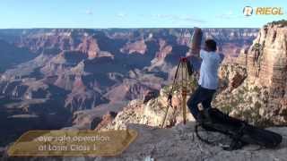
The RIEGL VZ-4000 scanning the Grand Canyon
(1:37)
Riegl focuses on latest product lines at Intergeo 2017
(2:4)
Exploring the Benefits of RIEGL Lidar - GeoWeek 2019
(4:40)
Riegl laser scanner survey
(16)