Duration: (1:45) ?Subscribe5835 2025-02-07T17:14:30+00:00
Leica iCON trades- How to set up the measuring station for layout
(1:38)
Leica iCON trades - How to relocate for layout
(3:)
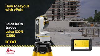
Leica iCON trades - How to Layout points with vPole
(3:42)
Leica iCON trades - How to get prepared for the first time
(3:47)
Leica iCON trades - How to calibrate Leica vPole
(2:13)
Leica CoastalMapper Airborne Bathymetric LiDAR Sensor
(2:5)
Meet our employees and discover why you should join us
(1:8)
Understanding GNSS \u0026 coordinate systems
(9:56)
Leica iCON site v8.5: What's new in the software release for heavy construction
(3:36)
Leica iCON build v8.5: What's new in the software release for building construction
(7:10)
Leica Geosystems Construction Tools - Features of the Leica CLC Combo+ Laser Receiver
(34)
Leica iCON trades - Reimagining Construction Layout with Leica iCON portfolio
Leica DISTO™ X6 - How to measure 3D from multiple locations? 3D measurements made easy (2024)
(3:15)
Leica DISTO™ X6 - How to measure Point-to-Point? Best measuring tool for inaccessible objects (2024)
(2:15)
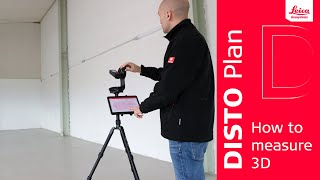
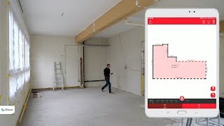
Leica DISTO™ Plan App: How to measure 3D?
(3:9)
Transform Your Surveys: Leica GS05 SmartPole for Unmatched Efficiency
(53)
How to use the Leica GS18 T GNSS RTK rover
(9:28)
Leica DISTO S910 and X4: How to easily capture a plot of land
(2:29)
Is the New Leica GS05 GNSS Tilt Rover REALLY Best in Class?
(2:17)
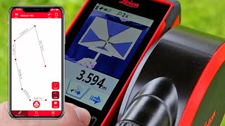
Leica DISTO™ Plan App - How to use Sketch Plan
(2:30)
Leica Geosystems | iCGT70 Tilt Rover
(1:12)
Leica Geosystems FlexLine Manual Total Stations in Morocco – Episode 2
(1:5)
Leica Geosystems Construction Tools - How to use the Leica Rugby 620 Rotating Laser
(3:46)
The new Leica Nova MS60 MultiStation 2020
(1:14)
Introducing the Trimble R980 GNSS System
(1:6)
Improve efficiency and cut costs with Leica Geosystems
Leica Aibot SX - Intelligent Aerial Surveying
(1:58)
How to use the DISTO™ D2 endpiece
Leica DISTO™ - The Original - Production
Leica MC1 3D solution for Develon DX225LC-7X excavator
(51)