Duration: (2:) ?Subscribe5835 2025-02-27T06:18:47+00:00
Uitnodiging Esri GIS Tech 2017 door sprekers (ochtendprogramma)
(2:)
Uitnodiging Esri Connect 2024
(1:11)
Uitnodiging Esri GIS Tech 2017 door sprekers (middagprogramma)
(2:7)
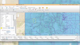
Understanding GeoEnrichment
(47:15)
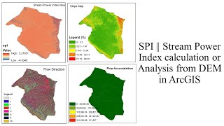
SPI || Stream Power Index calculation or Analysis from DEM in ArcGIS
(10:1econd)
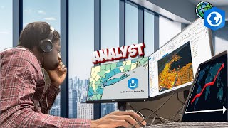
A Day in the Life of a GIS Analyst Intern
(2:5)
How DeepSeek AI Helped Me Create Maps Effortlessly
(9:49)
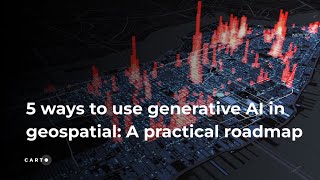
5 ways to use Generative AI in Geospatial
(53:24)
ChatGPT GIS Analysis Tutorial - Part 1
(45:24)
ArcGIS Data Reviewer: Automate, Simplify, and Improve How You Manage Data Quality
(59:2)
Baltic Esri User Conference Keynote by Matt Piper and Team
(2:39:51)
Geo referencing and Digitizing in ArcGIS I Google Earth Pro image Digitizing
(31:36)
Webinar | Gestión catastral multipropósito para la administración efectiva de la tierra
(1:1:2)
New Zealand Esri User Conference 2024 - Technology Plenary Part 1
(1:6:51)
ArcGIS Dashboards and ArcGIS Insights
(55:17)
How to Access Esri Technology while Working from Home
(9:18)
How to Use the Esri Data Interoperability Extension to Import GIS Data
(3:48)
Automating and Scripting ArcGIS
(12:42)
About Esri
(1:51)
Generative AI Prototypes in ArcGIS
(3:36)
Getting started with the #Esri's ArcGIS Places service
(5:)
Lining Up Your Data in ArcGIS
(34:46)
Esri Redistricting - Identify By Location
(53)
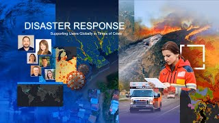
Upgrade your UAS Response Operations with GIS
(24:40)