Duration: (8:17) ?Subscribe5835 2025-02-28T05:19:27+00:00
Carlson SurvCE/PC connect bluetooth Topcon GTS230 series Total Station
(4:3)
How to Stake out a Point Using Carlson SurvCE and Hemisphere GPS S320 RTK GNSS System
(2:11)
Carlson SurvCE GPS Webinar
(46:27)
How to use a bitmap as background in SurvCE
(8:40)
Using Symbols in SurvCE
(4:15)
I Surveyed 120 Acres with a Drone
(10:34)
Clase 7 replanteo de lotes y parcelas
(1:12:47)
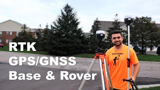
RTK GPS/GNSS with Base and Rover
(11:34)
IMPORTAR TRAMO DE CARRETERA EN SURVCE CON STONEX S900A
(7:16)
SurvCE - Iniciar trabalho e configurar base RTK convencional
(12:9)
Carlson BRx7 Configuration 2/3 – IMU Pole Calibration
(4:27)
SurvCE Mixing Total Station and GPS Observations at Grid
(10:31)
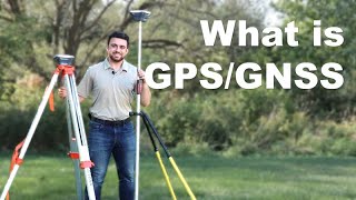
What is GPS/GNSS
(8:2)
Topographic Surveying for Beginners
(13:33)
Setting up Carlson CR2+ Robot Total station with Carlson Surv PC, set up on known point, store.
(7:15)
Carlson SurvCE Tutorial: Creating a point in Map View
(57)
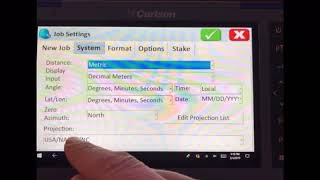
Setting up a new Job File in Carlson SurvCE GPS and change projection
(1:49)
Carlson SurvCE Tutorial: Setting up the SLD-100 Echo Sounder
(1:57)
Carlson SurvCE Tutorial: Staking Out a Polyline in Define Alignments
(1:5)
GPS Raw Data Logging in SurvCE/SurvPC
(12:11)
Carlson SurvCE Tutorial: Turn on Grid to Ground
(1:3)
SurvCE | Data Collection Software with UNPARALLELED Instrument Support
(1:22)
GIS in SurvCE
(3:17)
Stakeout with Carlson robot SurvPC, to prevent losing lock, adjust setting to lock or track
(1:)