Duration: (3:37) ?Subscribe5835 2025-02-14T02:46:02+00:00
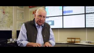
Preparing for landslide disasters: Lessons learned from 20 years of USGS landslide response
(49:28)
Inside USGS, No. 4, Robert B. Smith
(24:3)
USGS Coastal Change Hazards
(5:59)
Inside USGS No. 1, Robert Christiansen, Yellowstone
(37:19)
USGS Climate Connections: Questions from Colorado
(7:17)
SHARQ
(4:10)
Introduction to the USGS Coastal Science Navigator
(55:36)
USGS Lake Michigan 2013 Bottom Trawl Video
(5:7)
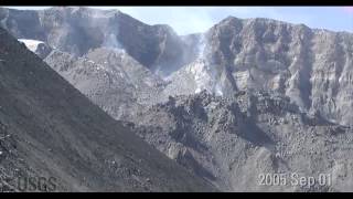
Time-lapse images of Mount St. Helens dome growth 2004-2008
(1:27)
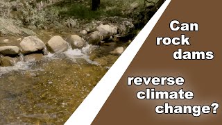
Can rock dams reverse climate change?
(9:30)
Exploring debris-flow processes with lidar and structure-from-motion
(41:7)
USGS Public Lecture: Warm Ice—Dynamics of Rapidly Changing Glaciers
(1:25:41)
PubTalk 5/2019 - Rodgers Creek Fault
(1:4:35)
Landslide susceptibility map generated using RegionGrow3D
(46:21)
A USGS guide for finding and interpreting high-water marks
(16:43)
USGS Fun
(3:34)
USGS CoreCast: Episode 161 -- Emerging Contaminants
(9:32)
USGS ground failure product: Near-real-time estimates of quake-triggered landslides, liquefaction
(56:34)
Reach-Scale Monitoring | Advances in Stream Gaging
(4:25)
Forecasting Ashfall Impacts from a Yellowstone Supereruption
(56:47)
Lake of the Sky: USGS Tahoe Basin Science
(12:10)
Inside USGS, No. 2, Patrick Muffler, Yellowstone
(46:12)
USGS Geospatial Information Response \u0026 User Engagement
(48:19)
What Does a USGS Hydrologic Technician Do to Inspect Streamgages?
(8:13)
What Do USGS Hydrologic Technicians Do For Water Quality Sampling and Analysis?
(6:43)
OGC API Processes for USGS Water Data
(53:42)
What Does a USGS Hydrologic Technician Do
(6:44)
USGS researcher talks about groundwater exploration in California
(33)
Inside USGS, No. 3, Robert Fournier, Yellowstone
(59:31)