Duration: (3:13) ?Subscribe5835 2025-02-27T13:58:34+00:00
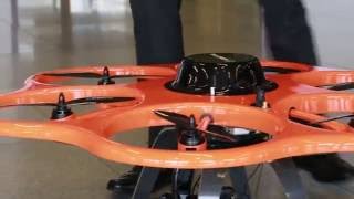
Aibot X6
(2:19)
Aibot X6 High Precision GNSS RTK Leica Geosystems
(31)
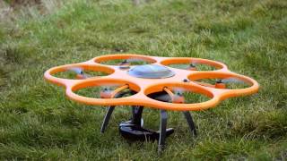
Drone UAV Aibot X6 - Leica AIBOTIX GEOTOP
(2:48)
The Aibot X6 UAV Unpacking from Northern Survey Supply
(4:2)
ISPRS 2016: Hexacopter Aibot X6 UAV by Hexagon
(1:11)
The Aibotix Aibot X6 UAV from Northern Survey Supply - Jazzing up the skies overhead
(3:18)
The Aibotix Aibot X6 UAV - Unmanned Aerial Vehicle from Northern Survey Supply
(2:38)
UAV flight training with Aibot X6 industrial drone
(5:3)
Aibot X6 UAV - Aibotix Leica - GPS - Geotop
(2:13)
Aibot X6 UAV - Inspección - Leica - Geotop
(3:7)
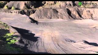
River surveying and creation of a 3D model with the Aibot X6 UAV
(2:3)
UAV Drone Aibot x6 - Leica Aibotix - GEOTOP
(10:20)
Aibot X6 HP GNSS for high precision RTK 1-2cm with an UAV
(6:5)
Aibot X6 3D Visualisations and Surveying
(5:4)
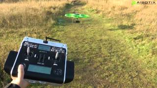
Aibot X6 UAV Autostart and Autolanding
(1:46)
Surveying and Mapping with the Aibot X6 UAV (drone, hexacopter)
(2:26)
AIVIEWGROUP uses UAV Aibot X6 for bridge inspection in Italy
(2:59)
Vegetation management using the Aibot X6 UAV
(2:)
Tvilum Landinspektørfirma A/S uses drone Aibot X6 for surveying, mapping and inspection
(2:15)
UAV 3D modelling with Aibot X6 for preservation of sites of historic interest in Bardejov
(48)